
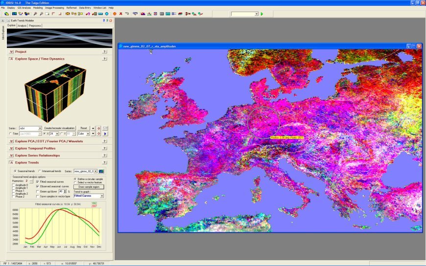
Geospatial software has become an essential tool across various sectors—ranging from urban planning and environmental management to agriculture, defense, and logistics. With the ability to map, analyze, and interpret location-based data, geospatial solutions allow professionals to make smarter, data-driven decisions. Whether it’s for satellite imagery, 3D mapping, or GIS (Geographic Information System) analytics, choosing the right platform is critical to success.
In this article, we break down the Top 10 Geospatial Software solutions that have set the standard for spatial analysis, cartography, and real-world modeling. These platforms are widely used for their reliability, versatility, and ability to integrate with modern data sources and workflows.
Esri ArcGIS
Continue reading this Article by leonard
Join our community to access the full story. Creating an account is completely free and only takes a moment.
- Read unlimited free publications across the platform
- Directly support independent journalists and authors
- Join discussions, leave reactions, and save your favorites























Responses (0)
Sign in to share your thoughts.
Sign in